SALINAS CARR LAKE FLOOD RISK, CA
CONTINUING AUTHORITY, SECTION 205
PROJECT LOCATION AND DESCRIPTION
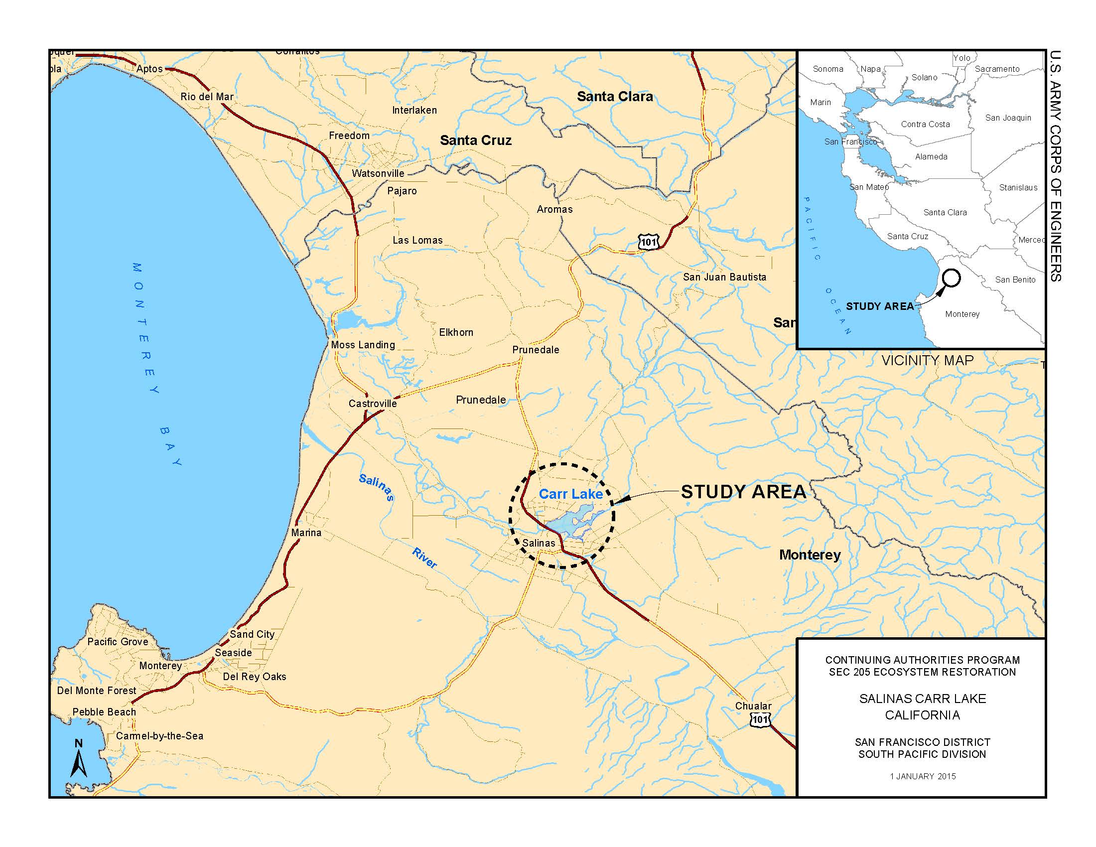
Carr Lake is located within the City of Salinas,Ca and covers about 500 acres between Highway 101 and East Laurel Drive. Carr Lake receives runoff from over 100 square miles and is the terminus of Gabilan and Natividad Creeks. Currently the lake does have some function as a detention basin, but by filling early in the storm, the lower level storage in Carr Lake is not available to attenuate peak storm conditions. Modifications to the system could include grading and culvert modifications to alter the hydrograph increasing the existing level of protection to properties in the flood plain.
TOTAL FUNDING
TOTAL COST $8,000,000
FEDERAL COST $5,200,000
NON-FEDERAL COST $2,800,000
TOTAL FEDERAL COST THROUGH FY 2018 $ 0
FY 2019 BUDGET $ 0
COST TO COMPLETE $ 8,000,000
FY 18 ACCOMPLISHMENTS
- This project has not been budgeted in the past and currently does not have funds to proceed.
- Sigh a Feasibility Cost Sharing Agreement.
- Initiate a Section 205 CAP study and develop a Project Management Plan
FY 19 ACCOMPLISHMENTS
ISSUES AND OTHER INFORMATION
CONGRESSIONAL INTEREST
- 20th District, Rep. Jimmy Panetta
POINT OF CONTACT
- Deputy for Project Management, Arijs A. Rakstins, (415) 503-6720
Updated on 26 February 2018

Click Map to Zoom In