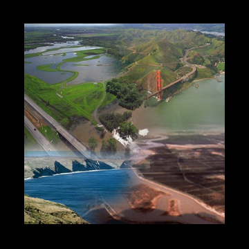
The San Francisco Bay and Delta flows from the Southern part of the valley comprised of the West Coast's largest estuary, encompassing approximately 1600 square miles of waterways and draining over 40 percent of the freshwater in California. In the estuary, the Sacramento and San Joaquin Rivers flow from Northern California's inland valleys into the delta -- a labyrinth of islands, sloughs, canals and channels -- before emptying into San Francisco Bay. Freshwater from the rivers mingles with salt water from ocean tides, creating a rich and diverse aquatic ecosystem.
Californians use the Bay and Delta waters for shipping, fishing, boating, farming, drinking, and recreation. At times, these uses compete with each other and with the fish and wildlife that inhabit the ecosystem. Exploring some of the physical impacts of human activities on the Bay-Delta waterways is the purpose of the Bay Model.
The Null Zone
Freshwater and saltwater mixing in the null zone create turbulence, stirring up nutrients and sparking plankton growth. The abundance of these microscopic plants and animals attract fish and other larger organisms, making this zone one of the most ecological productive parts of the Bay-Delta System.